
My maps
My journey is becoming more and more a collection of roads travelled. A series of places visited and memories to be kept.
I register all my rides through Strava and plot the GPX files on my own map. Below you can find those maps.
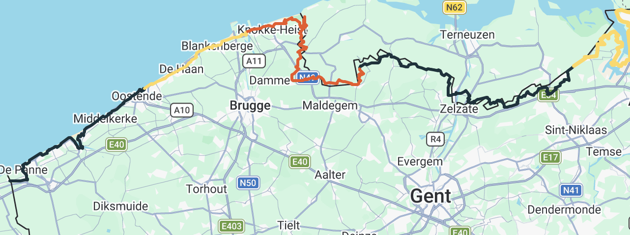
As a way of training, I started using the ROUVY app in combination with an indoor setup. As soon as ROUVY opened the option to upload your own GPX files, I got the idea to follow the Belgian borders. I used the existing cycling network, following the border as close as possible. Starting at the coast, the whole ride starts rather flat, what gives me a nice run up to the hilly Ardennes region. Coming out of winter, this would give me a solid training with a healthy build up.
Click on this link or the picture to the left for the latest version of the map.
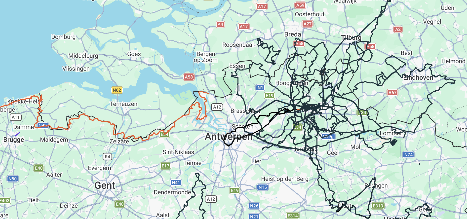
Every single ride I did. Not a single meter skipped. Red are virtual rides on the AZUB 4, black are outdoor rides on the AZUB TRIcon 26.
With every single ride, you will see this map grow. over the years, it will become more of a web then a well organized roadmap. Nothing gets deleted.
Click on this link or the picture to the left for the latest version of the map.